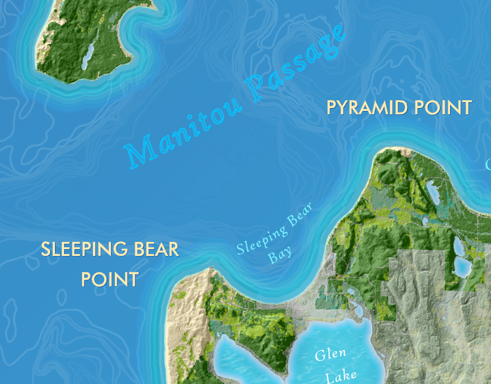
Missouri River Flooding 2019
In March 2019 a massive spring storm passed through the Great Plains and dumped up to 4" of rain on top of an 8-12" snowpack and frozen ground. The result was catastrophic flooding to much of Nebraska and western Iowa. About a week after this storm, I rode Amtrak from Chicago to Denver, and because much of Iowa and Nebraska was under water, the train had to be rerouted.
Later that fall, I did this project after noticing on the National Weather Service webpage that much of the Missouri River was still under a flood warning.
My intent was to find out how much of a section of the river south of Omaha was still under water in August,and in effect see how much of the floodplain was unusable for farmers to plant or harvest that year.
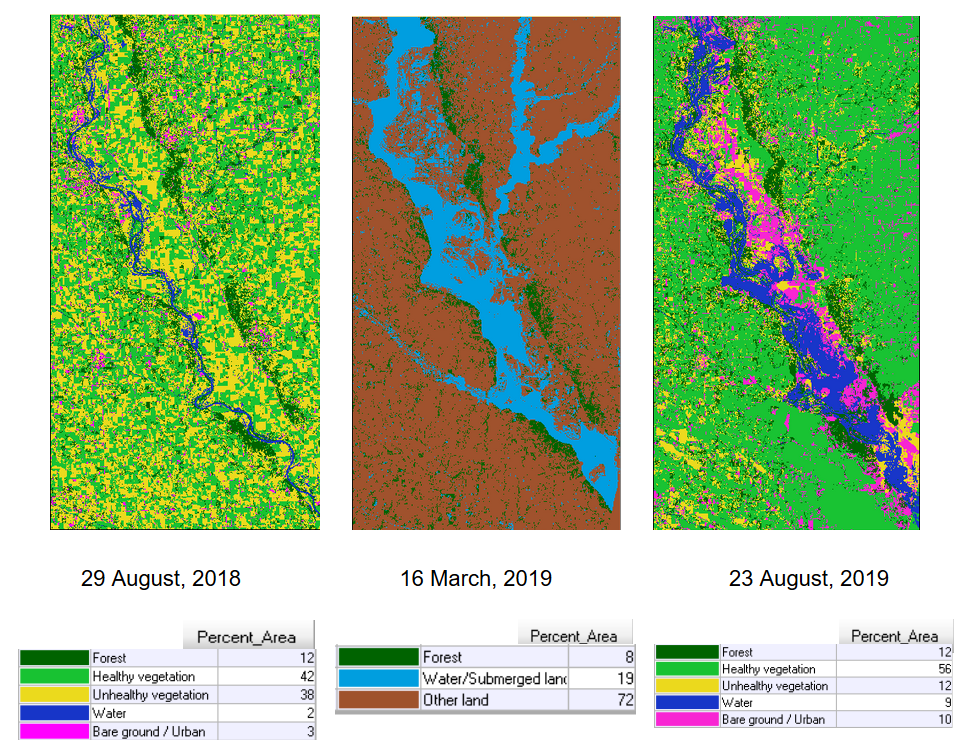
I used Landsat 8 imagery from August 2018 and August 2019 as well as an image from March 2019 and conducted supervised classification with Erdas Imagine software to show where agricultural lands were healthy, bare soil, or under water at each moment in time.
The image from March shows the extend of the flooding at it's worst point in the spring for comparison.
The results showed that 14% more of the study area was either water or bare ground in August 2019 than in August 2018.
Furthermore, since the March floodwaters covered 17% more land than with the river normally in its banks, this meant that only 3% of the land flooded in March actually produced some sort of agricultural product by the end of the summer.
This project was completed as part of my remote sensing GIS course.
_____________________________________________________________________________________________